Forest Operations & Maps
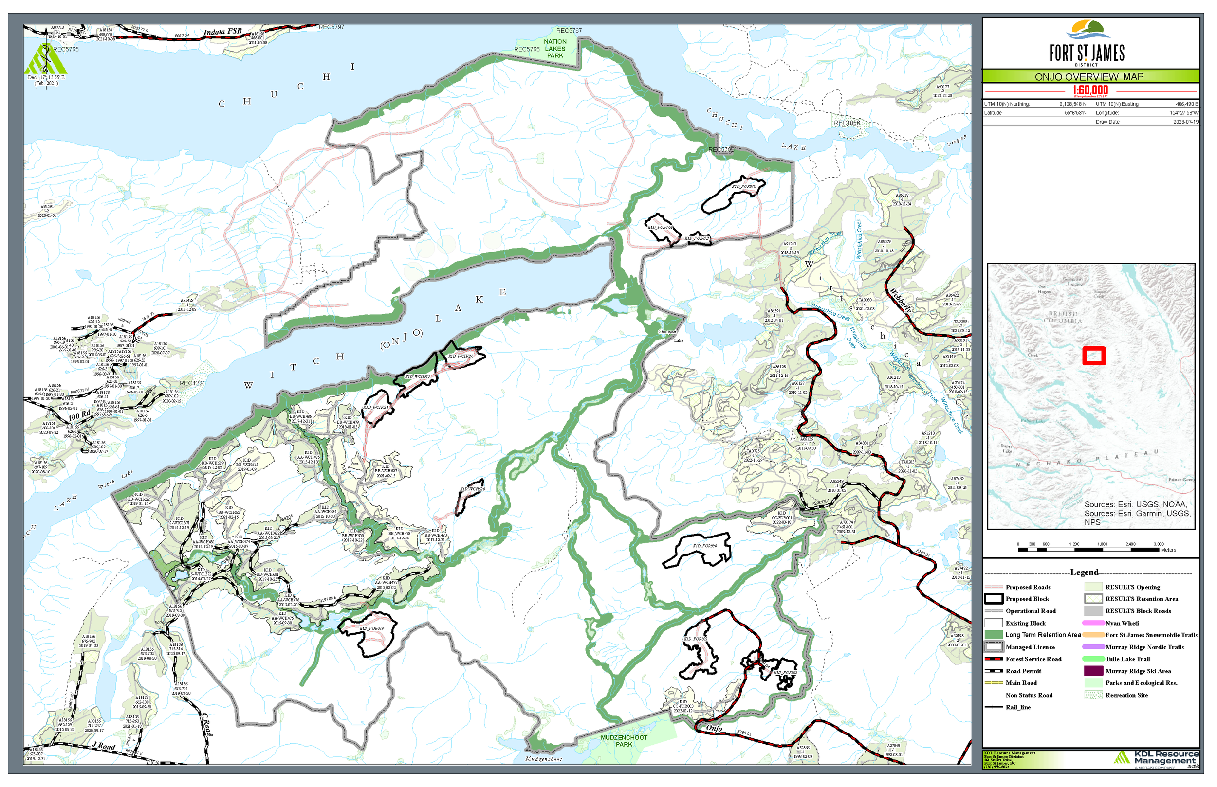
Onjo (Witch Lake)
Located approximately 100km North of Fort St. James the Witch Lake license was incorporated into the Fort St. James Community Forest in 2013 as an expansion to the license. This portion of the forest license totals 12,019 ha or 53% of the total community forest area.
The Onjo Operating area overlaps with the traditional territories of the:
Binche Whut’en, Nak’azdli Whut'en, Takla Lake First Nation, Halfway River First Nation, McLeod Lake Indian Band, and West Moberly First Nation.
Click the image to open a PDF file in a new window.
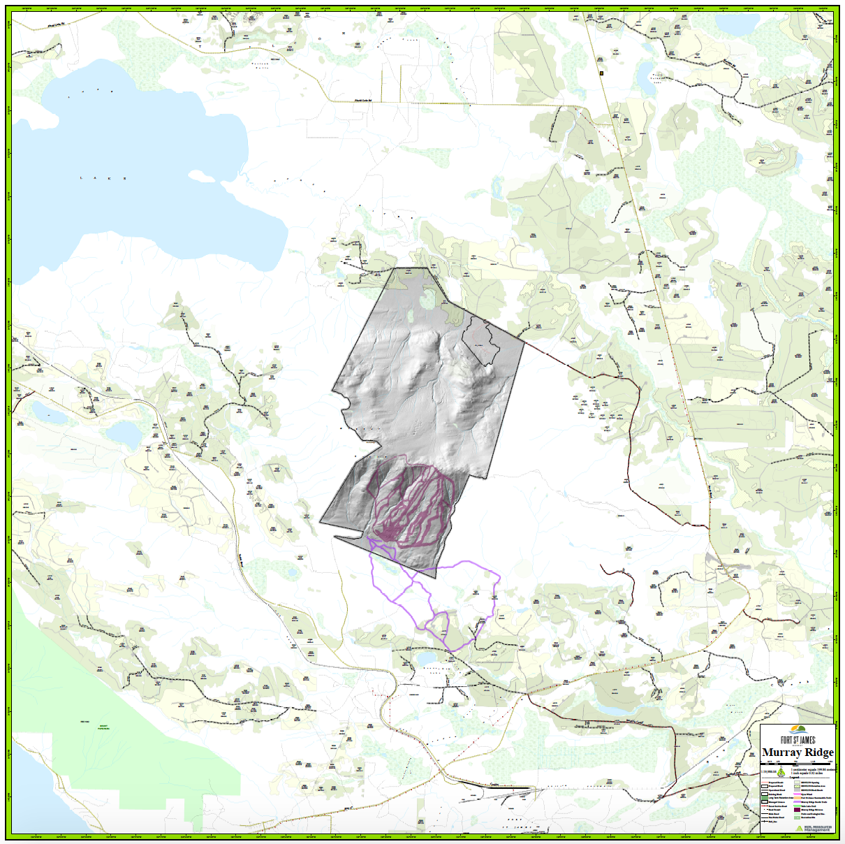
Murray Ridge
Located approximately 15km from Fort St. James the Murray ridge development unit is a unique asset providing both timber harvesting operations and outdoor recreation opportunities. In addition to forming a part of the Community Forest License, this area also overlaps the Murray Ridge Ski Area providing high quality alpine skiing to visitors and residents alike. The Murray Ridge forest tenure was added to the community forest in 2009 when the original pilot program was rolled into a long term tenure.
The Murray Ridge Operating area overlaps with the traditional territories of the:
Binche Whut’en and Nak’azdli Whut'en
Click the image to open a PDF file in a new window.
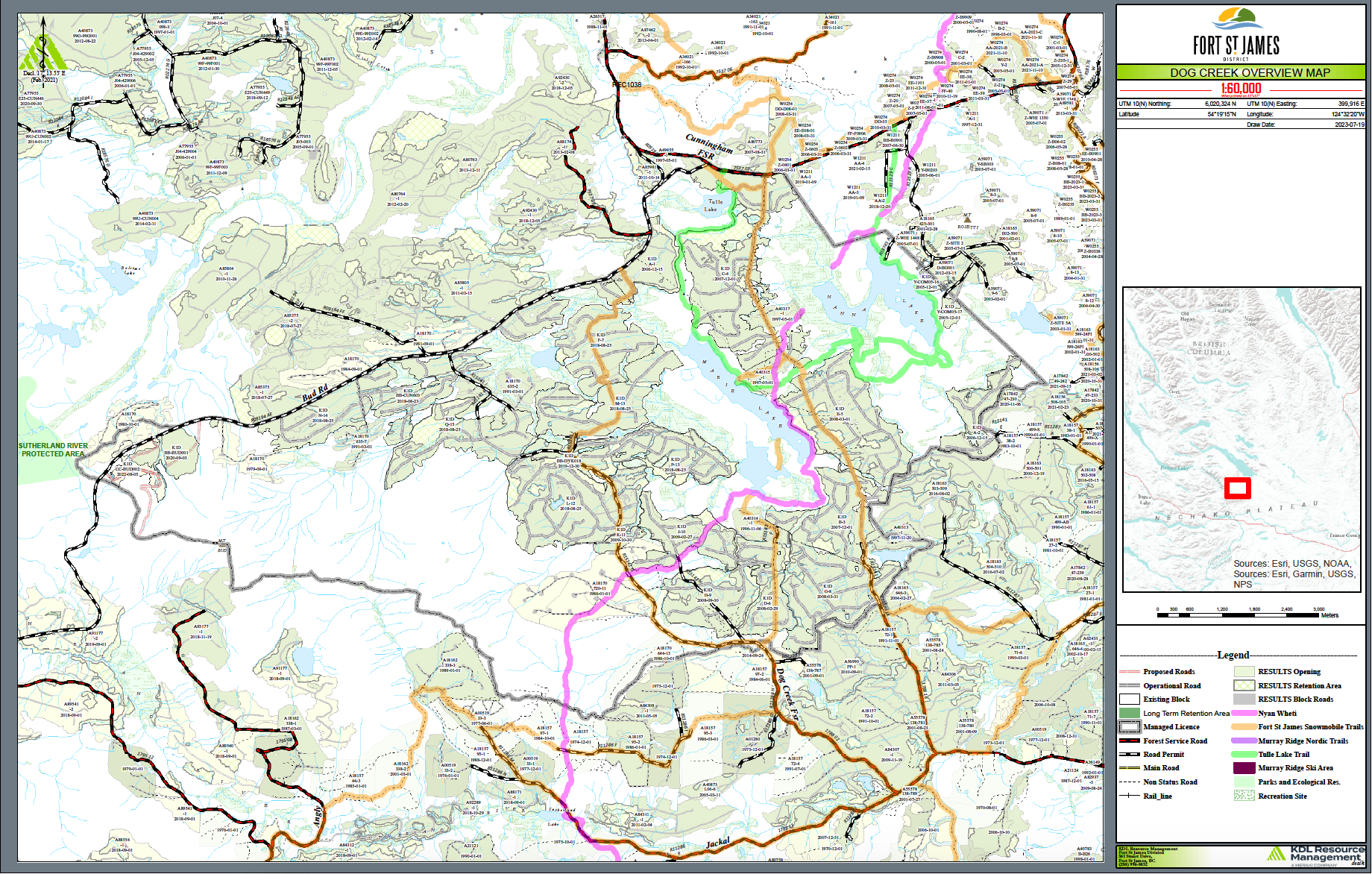
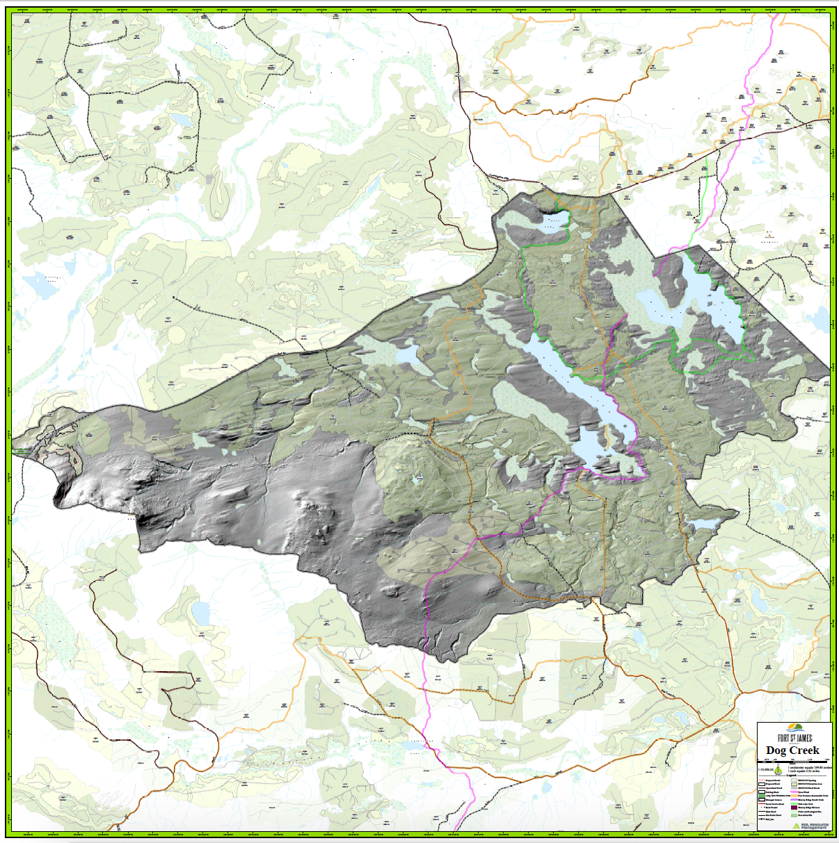
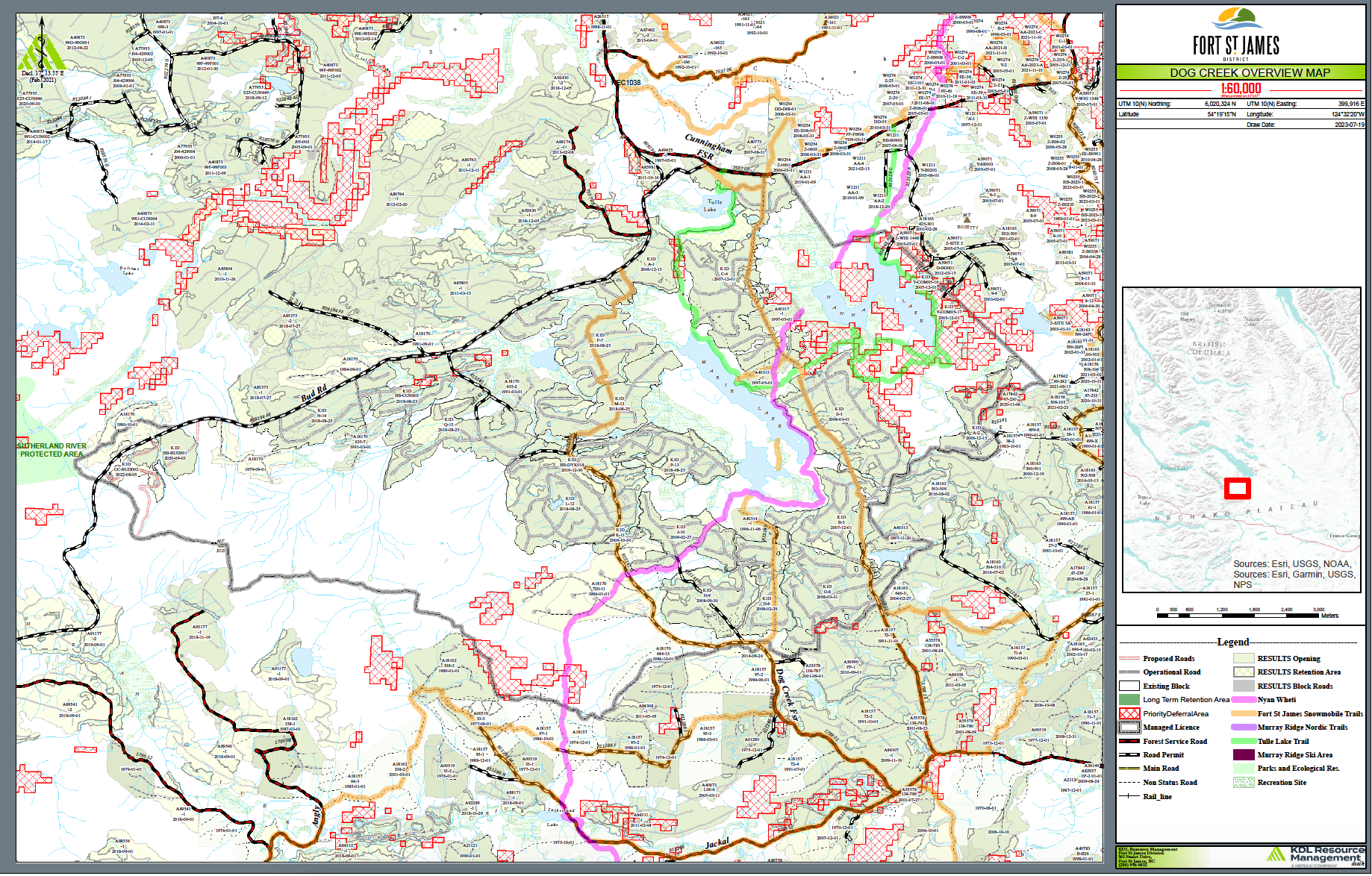
Dog Creek
Located approximately 25km from Fort St. James, the Dog Creek forest development area was the original pilot area awarded to the District of Fort St James. The Dog Creek FDU was heavily impacted by the Mountain Pine Beetle and went through extensive slabvage and sanitation harvesting. Many of these stands from the original harvesting are achieving their Free Growing status. In 2018 the Dog Creek area was impacted by the Shovel Lake Wildfire which burnt several seedling plantations and setback silviculture operations in the area. In the Spring of 2019 this area benefited from replanting operations in an effort to restore the affected area.
The Dog Creek Operating area overlaps with the traditional territories of the:
Nak’azdli Whut'en, Nadleh Whut’en, Yekooche First Nation.
Click the image to open a PDF file in a new window.
Forest Operations Maps
Recent amendments to the Forest and Range Practices Act (FRPA) require Forest Stewardship Plan (FSP) holders to make a Forest Operations Map available for public review and comment as part of the cutting/road permit review and approval process.
As part of the new public review and comment process, companies may choose to use the Forest Operations Map (FOM) online portal - a new online tool that allows the public to find, view, and comment on planned forestry operations, such as proposed cutblocks and roads.
FOM provisions will come into force on April 1, 2024, to give FSP holders time to prepare for the new FOM process.
